Idaho Hunt Planner We got game.
South Hills Zone
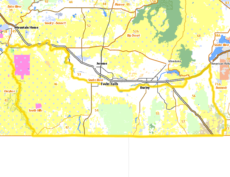
Units 46, 47, 54, 55, 56, 57
More information about GMU(s) in South Hills Zone :
Public Access
Land Ownership
| U.S. Bureau of Land Management (BLM) |  46.15
%
46.15
%
|
| Private |
32.83
%
|
| U.S. Forest Service (USFS) |
12.36
%
|
| State of Idaho |
3.06
%
|
| U.S. Military |
2.71
%
|
| U.S. Department of Interior (DOI) |
1.47
%
|
| U.S. Department of Agriculture (USDA) |
0.66
%
|
| U.S. National Park Service (NPS) |
0.29
%
|
| State of Idaho |
0.18
%
|
| U.S. Bureau of Reclamation (BOR) |
0.15
%
|
| Other |
0.12
%
|
| State of Idaho |
0.02
%
|
Make your own map of South Hills Zone
Ownership data source: Inside Idaho
Access Yes! Properties
- Windy Wheat, LLC
- Steve Deeg Farms
- Pleasant Valley Grazing Association
- Rockland Valley - West
- Rockland
- Diamond A Livestock - Little Pilgrim Gulch
- Bruneau Duck Ponds at CJ Strike WMA
National Forests
Federally-designated Wilderness Areas
-
Bruneau-Jarbridge Rivers Wilderness
30,162 acres (0.71% of hunt area)
Land Use/Cover
No landcover for this area is available at this time.