Idaho Hunt Planner We got game.
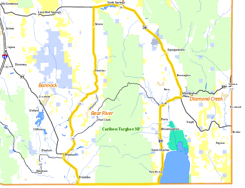
Bear River Zone
Units 75, 77, 78
More information about GMU(s) in Bear River Zone :
Public Access
Land Ownership
| Private |  47.68
%
47.68
%
|
| U.S. Forest Service (USFS) |
46.46
%
|
| U.S. Bureau of Land Management (BLM) |
3.72
%
|
| State of Idaho |
1.39
%
|
| U.S. Bureau of Reclamation (BOR) |
0.37
%
|
| State of Idaho |
0.35
%
|
Make your own map of Bear River Zone
Ownership data source: Inside Idaho
Access Yes! Properties
No properties are currently available in Bear River Zone.
View all Access Yes Participants.
National Forests
Federally-designated Wilderness Areas
There are no wilderness areas in Bear River Zone.
Land Use/Cover
| Forest |
44.89
%
|
| Rangeland |
27.63
%
|
| Irrigated-Gravity Flow |
10.75
%
|
| Irrigated-Sprinkler |
9.47
%
|
| Dryland Agriculture |
6.05
%
|
| Urban |
0.88
%
|
| Riparian |
0.27
%
|
| Water |
0.03
%
|
Make your own map of Bear River Zone
Land Use data source: IDWR
Services
Lodging, Camping & Services in Bear River Zone
- Preston, US 91 Idaho 36
- Soda Springs, US 30
- Montpelier, US 89 US 30
- Grace, Idaho 34
- Franklin, US 91
- Paris, US 89
* Services pages courtesy of the Official Idaho Travel and Tourism Guide