Idaho Hunt Planner We got game.
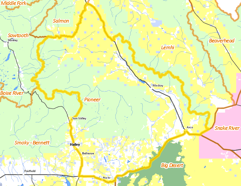
Pioneer Zone
Units 36A, 49, 50
More information about GMU(s) in Pioneer Zone :
Public Access
Land Ownership
| U.S. Forest Service (USFS) |  45.26
%
45.26
%
|
| U.S. Bureau of Land Management (BLM) |
32.75
%
|
| Private |
18.09
%
|
| State of Idaho |
3.24
%
|
| U.S. National Park Service (NPS) |
0.54
%
|
| State of Idaho |
0.08
%
|
| Other |
0.03
%
|
| U.S. Department of Energy (DOE) |
0
%
|
| U.S. Bureau of Reclamation (BOR) |
0
%
|
Make your own map of Pioneer Zone
Ownership data source: Inside Idaho
Access Yes! Properties
National Forests
Federally-designated Wilderness Areas
There are no wilderness areas in Pioneer Zone.
Land Use/Cover
| Rangeland |
74.03
%
|
| Forest |
14.62
%
|
| Irrigated-Gravity Flow |
5.18
%
|
| Irrigated-Sprinkler |
4.37
%
|
| Riparian |
0.97
%
|
| Rock |
0.68
%
|
| Urban |
0.09
%
|
| Water |
0.06
%
|
Make your own map of Pioneer Zone
Land Use data source: IDWR
Services
Lodging, Camping & Services in Pioneer Zone
- Hailey, Idaho 75
- Sun Valley / Ketchum, Idaho 75
- Bellevue, Idaho 75
- Arco, US 20-26 US 93
- Mackay, US 93
- Picabo, US 20
* Services pages courtesy of the Official Idaho Travel and Tourism Guide