Idaho Hunt Planner We got game.
Unit 36
- Region 7
- Salmon Region
- Sawtooth Elk Zone
- Units 33, 34, 35, 36
Game Management Unit Boundary
Those portions of BLAINE and CUSTER COUNTIES within the Salmon River drainage upstream from and including the Yankee Fork on the north side of the river, and upstream from, and including the Warm Springs, Treon, Cold, and Beaver Creek drainages on the south side of the Salmon River, and including the Marsh Creek drainage of the Middle Fork of the Salmon River.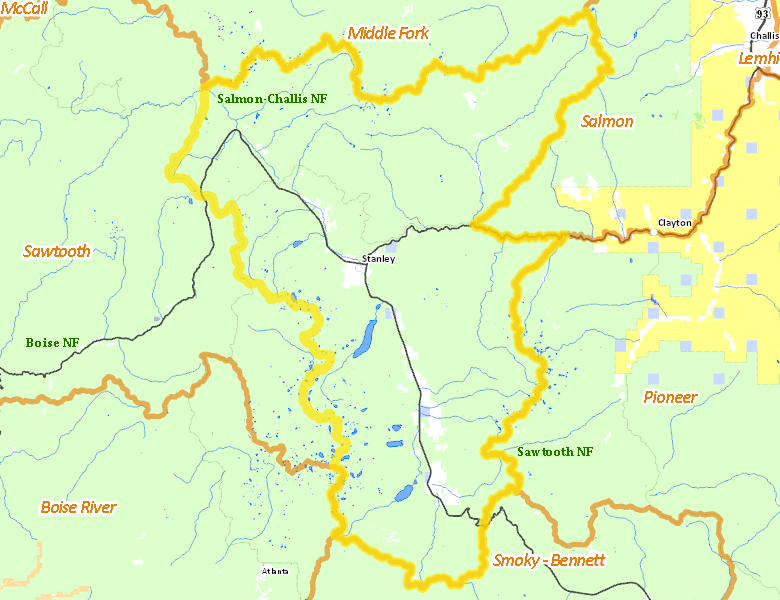
Public Access
Surface Management
For government land, these data show the managing agency of the land, which may or not be the same as the owning agency.
| U.S. Forest Service (USFS) |  95.72
%
95.72
%
|
| Private |
3.32
%
|
| Other |
0.66
%
|
| State of Idaho |
0.3
%
|
| State of Idaho |
0
%
|
Make your own map of Unit 36
Ownership data source: Inside Idaho
Access Yes! Properties
No properties are currently available in Unit 36.
View all Access Yes Participants.
National Forests
Federally-designated Wilderness Areas
No motorized vehicles are allowed in these areas.
-
Sawtooth Wilderness
67,481 acres (10.04% of hunt area) -
White Clouds Wilderness
50,826 acres (7.56% of hunt area) -
Frank Church - River of No Return Wilderness
25,383 acres (3.78% of hunt area)
Land Use/Cover
| Forest |
86.39
%
|
| Rangeland |
7.56
%
|
| Riparian |
2.63
%
|
| Irrigated-Gravity Flow |
2.26
%
|
| Irrigated-Sprinkler |
0.87
%
|
| Water |
0.21
%
|
| Urban |
0.06
%
|
Make your own map of Unit 36
Land Use data source: IDWR