Idaho Hunt Planner We got game.
Hunt Area
Private lands and adjacent National Forest lands within one-half mile of the eastern boundary of National Forest within the following: Unit 66A south of Miller Creek, and Unit 76 north and east of the junction of Sage Creek and Crow Creek Road to the Idaho-Wyoming border.
More information about the Game Management Unit(s) in this area: 66A 76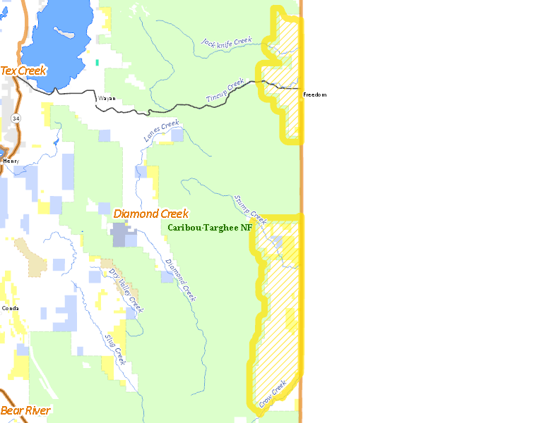
Surface Management
For government land, these data show the managing agency of the land, which may or not be the same as the owning agency.
 Private 66.75%
|
|
U.S. Forest Service (USFS) 23.96%
|
|
U.S. Bureau of Land Management (BLM) 8.31%
|
|
State of Idaho 0.84%
|
Make your own map of Hunt Area
Ownership data source: Inside Idaho
Access Yes! Properties
Access Yes! is Fish and Game program designed to improve hunting and fishing access to private land or through private land to public land by compensating willing landowners who provide access.
No properties are currently available in .
View all Access Yes Participants.
Forest Service Land
Check for road and area closures on National Forest websites
Federally-designated Wilderness Areas
No motorized vehicles are allowed in these areas.
There are no wilderness areas in .
Land Use/Land Cover
|
Rangeland
46.54
%
|
|
Irrigated-Gravity Flow
22.37
%
|
|
Forest
16.23
%
|
|
Irrigated-Sprinkler
11.65
%
|
|
Urban
2.88
%
|
Make your own map of Hunt Area
Land Use data source: IDWR
Towns in this Hunt Area
No services are available inside .
Services courtesy of the Official Idaho Travel and Tourism Guide