Idaho Hunt Planner We got game.
Hunt Area
That portion of Unit 36A, including the headwaters of the East Fork of the Salmon River upstream from, but excluding, the Germania Creek drainage on the west and upstream from, but excluding, the West Pass Creek drainage on the east; and that portion of Unit 48 within the Big Wood River drainage east of State Highway 75 upstream from and excluding the North Fork Big Wood River drainage.
More information about the Game Management Unit(s) in this area: 36A 48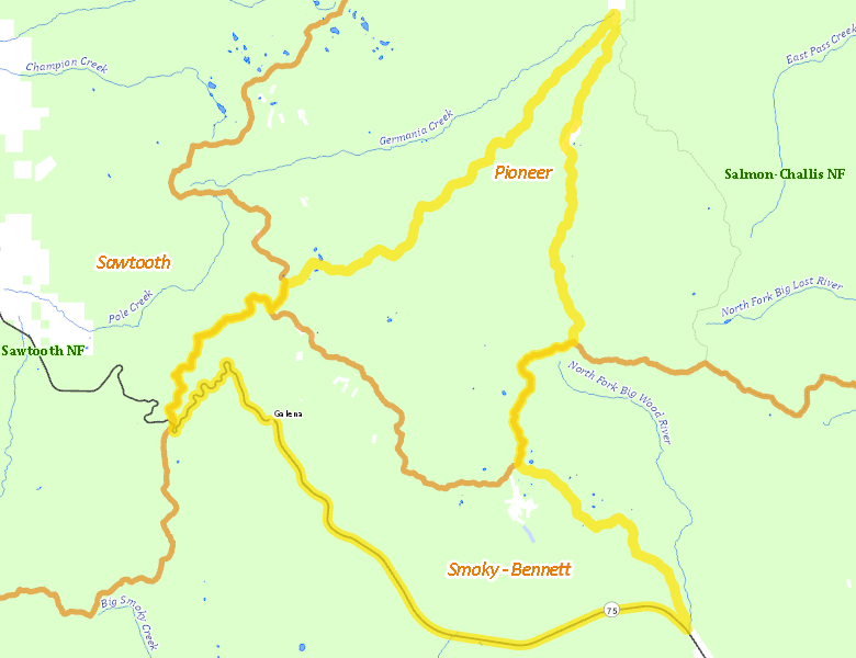
Surface Management
For government land, these data show the managing agency of the land, which may or not be the same as the owning agency.
 U.S. Forest Service (USFS) 99.13%
|
|
Private 0.81%
|
|
State of Idaho 0.06%
|
Make your own map of Hunt Area
Ownership data source: Inside Idaho
Access Yes! Properties
Access Yes! is Fish and Game program designed to improve hunting and fishing access to private land or through private land to public land by compensating willing landowners who provide access.
No properties are currently available in .
View all Access Yes Participants.
Forest Service Land
Check for road and area closures on National Forest websites
Federally-designated Wilderness Areas
No motorized vehicles are allowed in these areas.
There are no wilderness areas in .
Land Use/Land Cover
|
Forest
61.63
%
|
|
Rangeland
36.12
%
|
|
Riparian
2.23
%
|
|
Irrigated-Gravity Flow
0.01
%
|
Make your own map of Hunt Area
Land Use data source: IDWR
Towns in this Hunt Area
No services are available inside .
Services courtesy of the Official Idaho Travel and Tourism Guide