Idaho Hunt Planner We got game.
Hunt Area
That portion of Unit 52 east of State Highway 75.
More information about the Game Management Unit(s) in this area: 52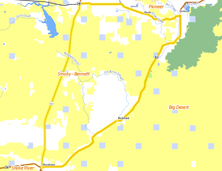
Surface Management
For government land, these data show the managing agency of the land, which may or not be the same as the owning agency.
 U.S. Bureau of Land Management (BLM) 58.58%
|
|
Private 37.36%
|
|
State of Idaho 4.02%
|
|
State of Idaho 0.03%
|
|
U.S. Bureau of Reclamation (BOR) 0.01%
|
|
State of Idaho 0%
|
Make your own map of Hunt Area
Ownership data source: Inside Idaho
Access Yes! Properties
Access Yes! is Fish and Game program designed to improve hunting and fishing access to private land or through private land to public land by compensating willing landowners who provide access.
Forest Service Land
Check for road and area closures on National Forest websites
No National Forest lands fall within .
Federally-designated Wilderness Areas
No motorized vehicles are allowed in these areas.
There are no wilderness areas in .
Land Use/Land Cover
|
Rangeland
76.04
%
|
|
Irrigated-Gravity Flow
20.23
%
|
|
Irrigated-Sprinkler
3.73
%
|
Make your own map of Hunt Area
Land Use data source: IDWR