Idaho Hunt Planner We got game.
Hunt Area
Includes all of Bear Lake County and all of Caribou County EXCEPT that portion downstream from the dam at Alexander Reservoir south of US Highway 30, and that portion lying within the Grays Lake Basin.
More information about the Game Management Unit(s) in this area: 66A 69 71 72 74 75 76 77 78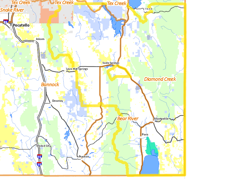
Surface Management
For government land, these data show the managing agency of the land, which may or not be the same as the owning agency.
 Private 45.54%
|
|
U.S. Forest Service (USFS) 33.3%
|
|
U.S. Bureau of Land Management (BLM) 7.39%
|
|
State of Idaho 6.74%
|
|
Indian Reservation / Bureau of Indian Affairs 2.82%
|
|
U.S. National Wildlife Refuge (NWR) 0.96%
|
|
Indian Reservation / Bureau of Indian Affairs 0.58%
|
|
State of Idaho 0.33%
|
|
Other 0.28%
|
|
State of Idaho 0.05%
|
Make your own map of Hunt Area
Ownership data source: Inside Idaho
Access Yes! Properties
Access Yes! is Fish and Game program designed to improve hunting and fishing access to private land or through private land to public land by compensating willing landowners who provide access.
Forest Service Land
Check for road and area closures on National Forest websites
Federally-designated Wilderness Areas
No motorized vehicles are allowed in these areas.
There are no wilderness areas in .
Land Use/Land Cover
|
Rangeland
35.98
%
|
|
Forest
29.21
%
|
|
Dryland Agriculture
15.74
%
|
|
Irrigated-Sprinkler
7.24
%
|
|
Irrigated-Gravity Flow
5.71
%
|
|
Water
2.93
%
|
|
Riparian
1.78
%
|
|
Urban
1.38
%
|
Make your own map of Hunt Area
Land Use data source: IDWR
Towns in this Hunt Area
- Soda Springs, US 30
- Montpelier, US 89 US 30
- Grace, Idaho 34
- Paris, US 89