Idaho Hunt Planner We got game.
Hunt Area
All of Unit 41.
More information about the Game Management Unit(s) in this area: 41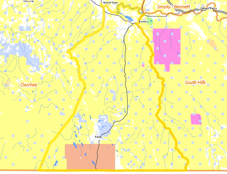
Recent Hunts in this Area
| Year | Tag | Open | Close | Take Method | Game | Area |
|---|---|---|---|---|---|---|
| 2024 | Elk Controlled Hunt 2282 | 2/1/2025 | 2/28/25 | Any Weapon | Elk | Area 41X |
| 2024 | Elk Controlled Hunt 2281 | 1/1/2025 | 1/31/25 | Any Weapon | Elk | Area 41X |
| 2024 | Elk Controlled Hunt 2082 | 12/1/2024 | 12/31/24 | Any Weapon | Elk | Area 41 |
| 2024 | Elk Controlled Hunt 2016 | 11/1/2024 | 11/30/24 | Any Weapon | Elk | Area 41 |
| 2024 | Elk Controlled Hunt 2015 | 10/1/2024 | 10/31/24 | Any Weapon | Elk | Area 41 |
Surface Management
For government land, these data show the managing agency of the land, which may or not be the same as the owning agency.
 U.S. Bureau of Land Management (BLM) 75.4%
|
|
Indian Reservation / Bureau of Indian Affairs 9.42%
|
|
Private 8.75%
|
|
State of Idaho 6.3%
|
|
State of Idaho 0.07%
|
|
U.S. Military 0.04%
|
|
Other 0.01%
|
Make your own map of Hunt Area
Ownership data source: Inside Idaho
Access Yes! Properties
Access Yes! is Fish and Game program designed to improve hunting and fishing access to private land or through private land to public land by compensating willing landowners who provide access.
Forest Service Land
Check for road and area closures on National Forest websites
No National Forest lands fall within .
Federally-designated Wilderness Areas
No motorized vehicles are allowed in these areas.
- Bruneau-Jarbridge Rivers Wilderness 64,706 acres (4.2% of hunt area)
- Big Jacks Creek Wilderness 56,546 acres (3.67% of hunt area)
- Little Jacks Creek Wilderness 54,935 acres (3.56% of hunt area)
- Owyhee River Wilderness 12,623 acres (0.82% of hunt area)
Land Use/Land Cover
|
Rangeland
90.75
%
|
|
Riparian
4.94
%
|
|
Irrigated-Sprinkler
2.53
%
|
|
Irrigated-Gravity Flow
1.42
%
|
|
Water
0.27
%
|
|
Dryland Agriculture
0.05
%
|
Make your own map of Hunt Area
Land Use data source: IDWR
Towns in this Hunt Area
- Grand View, Idaho 78
- Bruneau, Idaho 51