Idaho Hunt Planner We got game.
Hunt Area
Units 46, 47, 54, 55, 56, 57 within 1 mile of private cultivated fields outside NF Legislative System Boundary
More information about the Game Management Unit(s) in this area: 46 47 54 55 56 57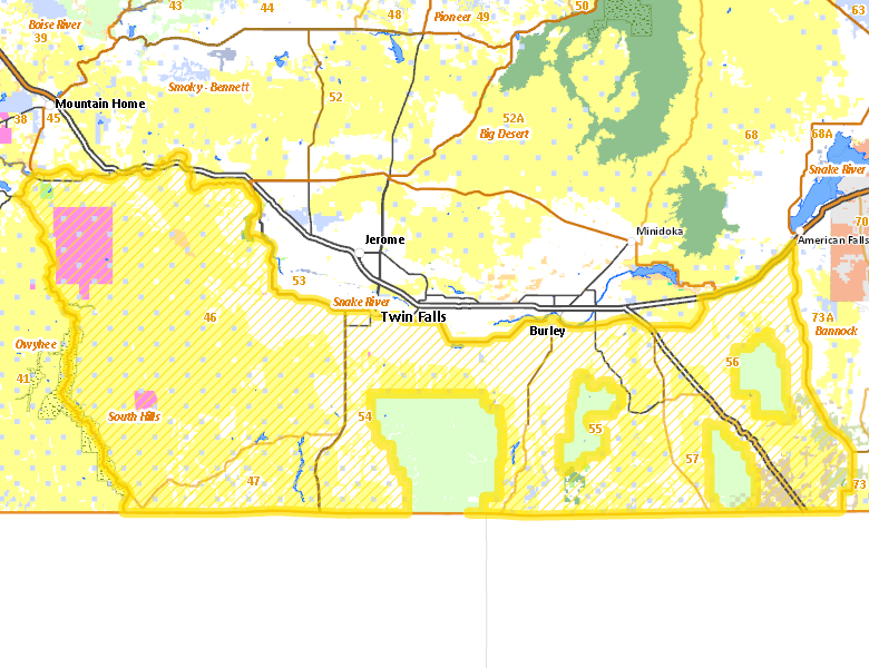
Surface Management
For government land, these data show the managing agency of the land, which may or not be the same as the owning agency.
 U.S. Bureau of Land Management (BLM) 52.86%
|
|
Private 37.3%
|
|
State of Idaho 3.5%
|
|
U.S. Military 3.1%
|
|
U.S. Department of Interior (DOI) 1.69%
|
|
U.S. Department of Agriculture (USDA) 0.63%
|
|
U.S. National Park Service (NPS) 0.33%
|
|
State of Idaho 0.2%
|
|
U.S. Bureau of Reclamation (BOR) 0.17%
|
|
Other 0.14%
|
|
U.S. Forest Service (USFS) 0.04%
|
|
State of Idaho 0.02%
|
Make your own map of Hunt Area
Ownership data source: Inside Idaho
Access Yes! Properties
Access Yes! is Fish and Game program designed to improve hunting and fishing access to private land or through private land to public land by compensating willing landowners who provide access.
- Windy Wheat, LLC
- Steve Deeg Farms
- Pleasant Valley Grazing Association
- Rockland Valley - West
- Rockland
- Diamond A Livestock - Little Pilgrim Gulch
- Bruneau Duck Ponds at CJ Strike WMA
Forest Service Land
Check for road and area closures on National Forest websites
Federally-designated Wilderness Areas
No motorized vehicles are allowed in these areas.
- Bruneau-Jarbridge Rivers Wilderness 30,147 acres (0.81% of hunt area)
Land Use/Land Cover
No landcover for this area is available at this time.
Towns in this Hunt Area
- Burley, Interstate 84 Idaho 27 US 30
- Buhl, US 30
- Filer, US 30
- Oakley, Idaho 27
- Albion, Idaho 77
- Hollister, US 93
- Bruneau, Idaho 51
- Rogerson, US 93
- Almo, Idaho 77