Idaho Hunt Planner We got game.
Hunt Area
That portion of Units 15 and 16 outside of and up to one mile inside the National Forest System Boundary. The National Forest System Boundary is a legislatively set boundary - it is not necessarily the boundary of Forest Service property. Please refer to a US Forest Service travel plan map for the location of this boundary.
More information about the Game Management Unit(s) in this area: 15 15 16 16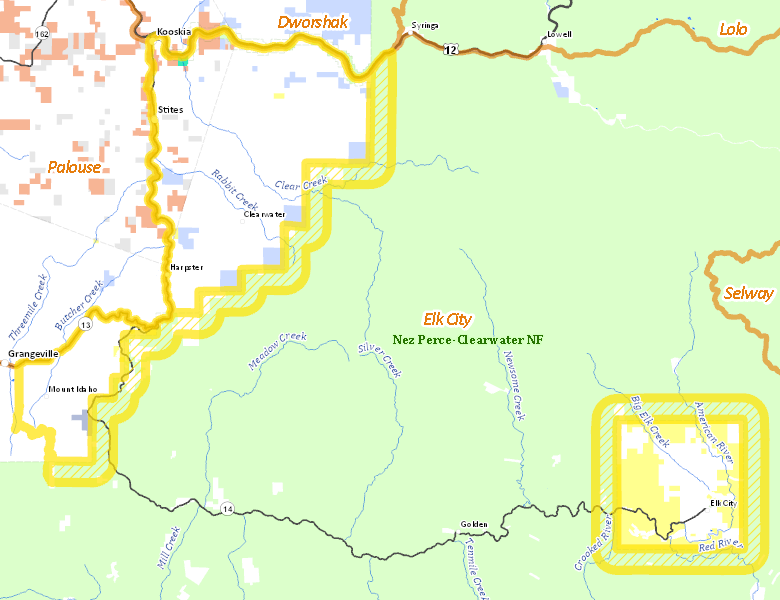
Surface Management
For government land, these data show the managing agency of the land, which may or not be the same as the owning agency.
 Private 82.01%
|
|
U.S. Forest Service (USFS) 35.96%
|
|
U.S. Bureau of Land Management (BLM) 14.04%
|
|
State of Idaho 4.42%
|
|
Indian Reservation / Bureau of Indian Affairs 1.63%
|
|
Indian Reservation / Bureau of Indian Affairs 0.77%
|
|
Other 0.41%
|
|
State of Idaho 0.39%
|
|
U.S. National Wildlife Refuge (NWR) 0.13%
|
Make your own map of Hunt Area
Ownership data source: Inside Idaho
Access Yes! Properties
Access Yes! is Fish and Game program designed to improve hunting and fishing access to private land or through private land to public land by compensating willing landowners who provide access.
No properties are currently available in .
View all Access Yes Participants.
Forest Service Land
Check for road and area closures on National Forest websites
Federally-designated Wilderness Areas
No motorized vehicles are allowed in these areas.
There are no wilderness areas in .
Land Use/Land Cover
|
Forest
74.96
%
|
|
Dryland Agriculture
60.91
%
|
|
Irrigated-Sprinkler
3.88
%
|
Make your own map of Hunt Area
Land Use data source: IDWR