
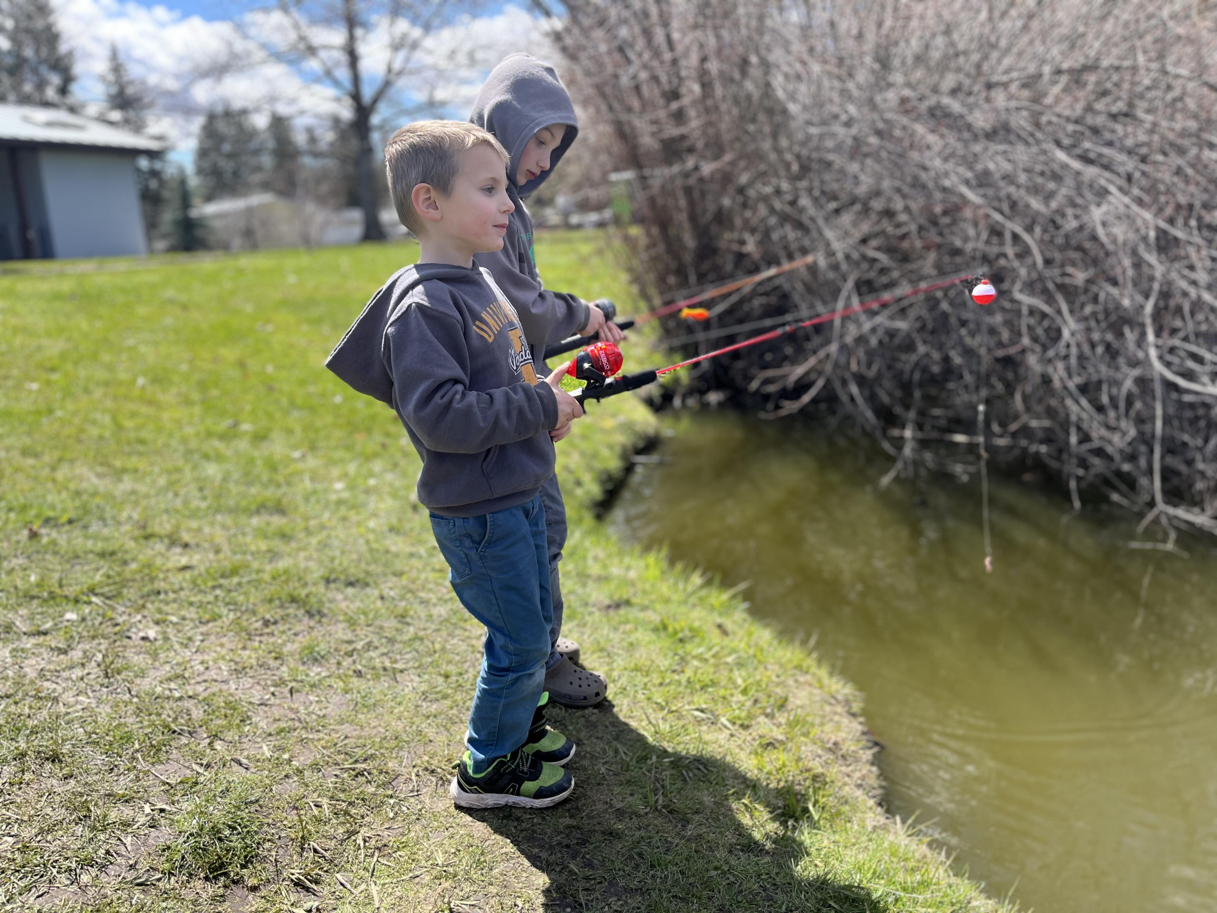
Kid's Fishing Day at Hordemann Pond in Moscow on April 27
Wednesday, April 24, 2024 - 5:49 PM MDTJoin us for the annual Kiwanis Kid's Fishing Day will be held from 9 a.m. to noon on Saturday, April 27 at Moscow's Hordemann Pond. Staff will be on hand to help young anglers, and Idaho Fish and Game's new fishing trailer will be stocked with rods and reels available for loan on a first-come, first-served basis.

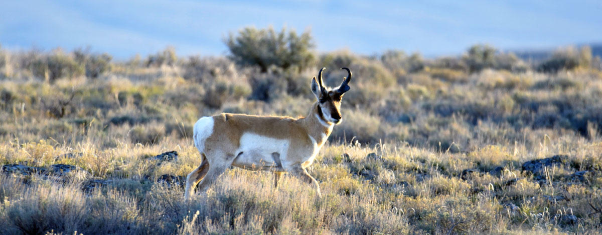
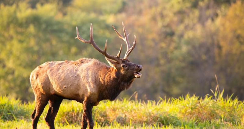
Mild winter means deer fawn and elk calf survival looks good as we enter spring
Wednesday, April 24, 2024 - 3:02 PM MDTStatewide winter survival for mule deer fawns and elk calves fitted with tracking collars has shown to be slightly higher than average through the end of March. By the end of February, 92% of the collared fawns and 95% of the collared calves were still alive, and here's how that compares with recent years.
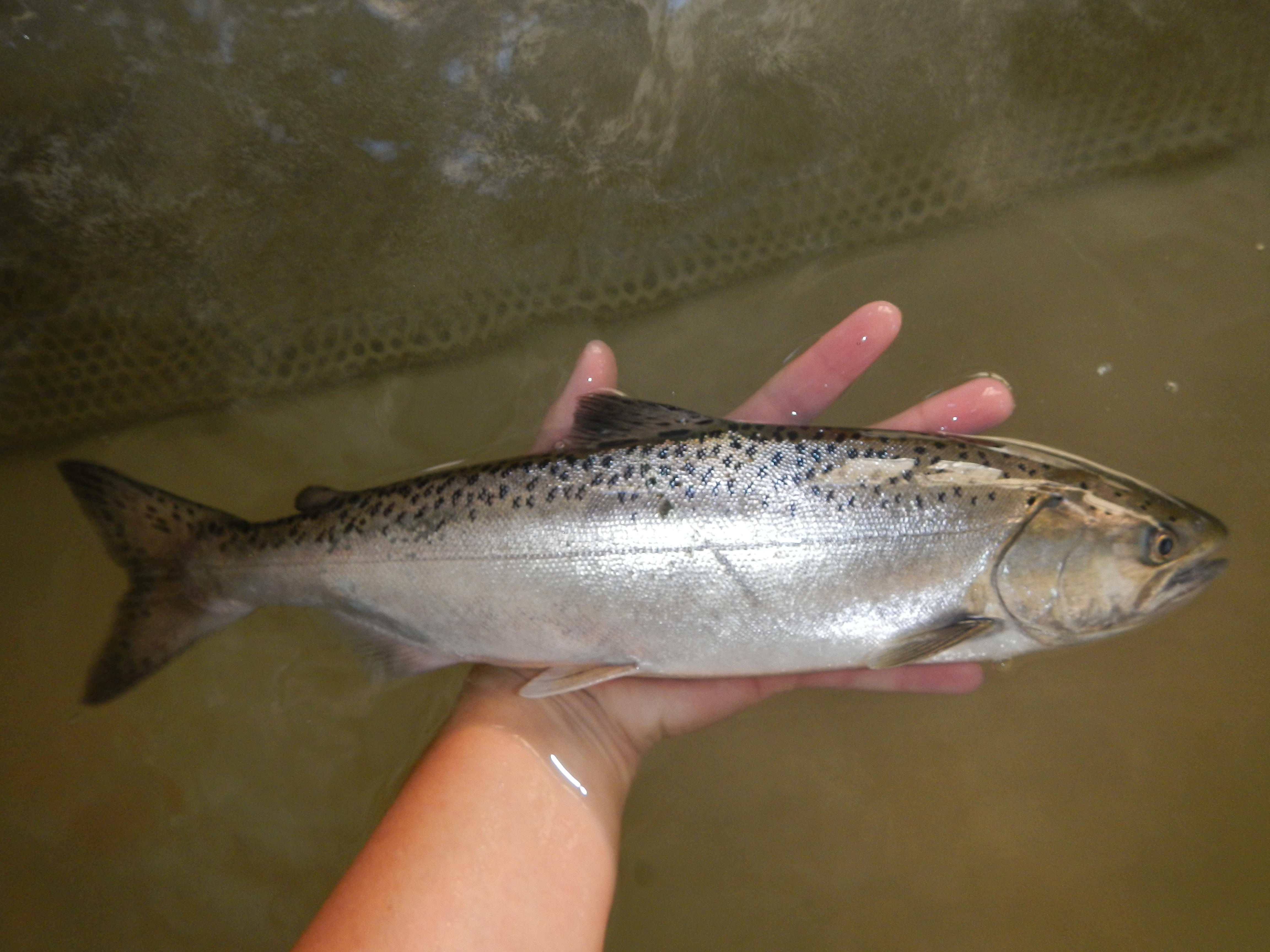
Do you know jack? Take this salmon quiz
Wednesday, April 24, 2024 - 1:49 PM MDT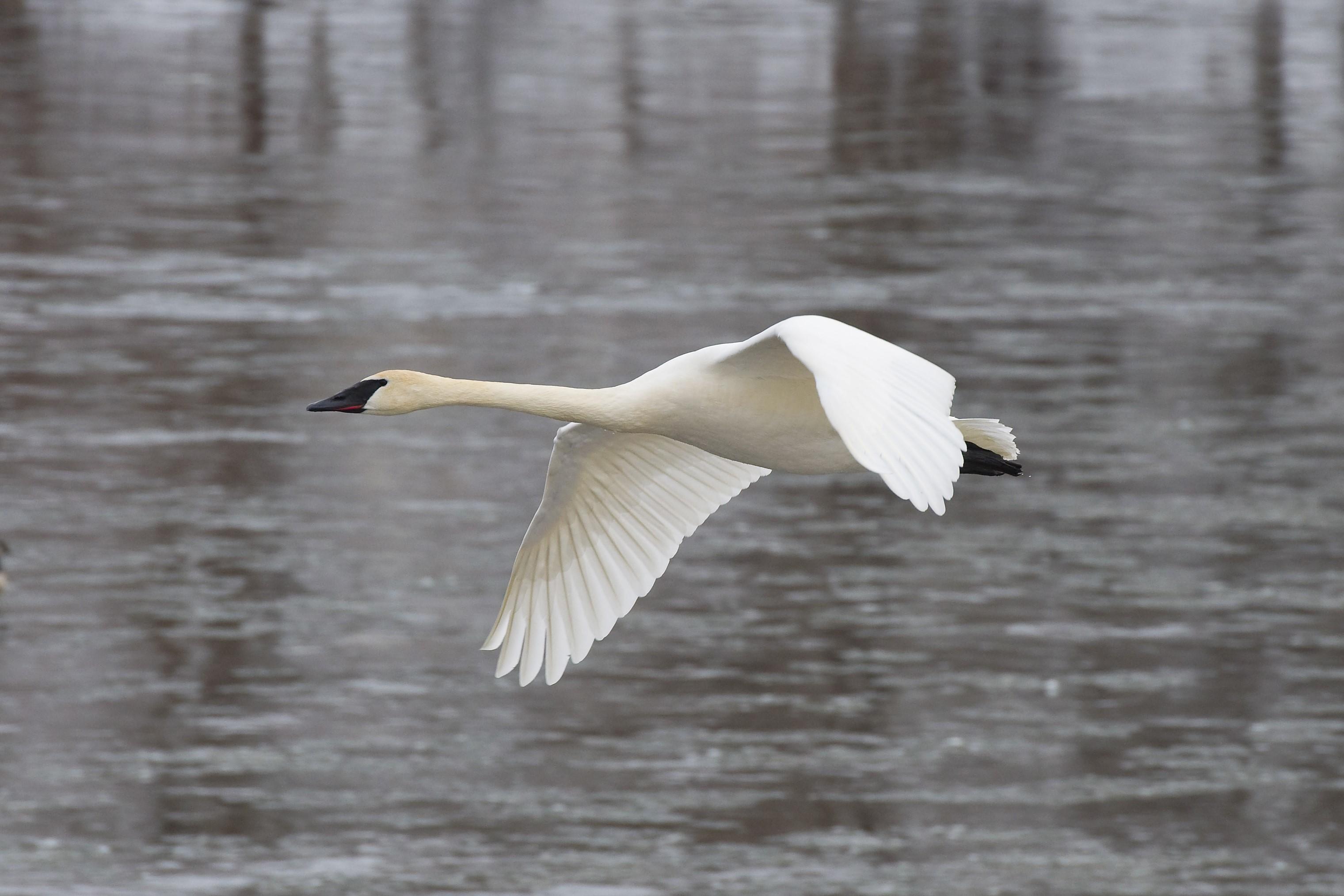
Application period for fall 2024 swan controlled hunt opens May 1
Wednesday, April 24, 2024 - 10:59 AM MDTThe application period is May 1 through June 5 for the fall 2024 swan controlled hunt in the Panhandle Region. Successful controlled hunt applicants will be notified by July 10. A total of 50 swan tags were added to the controlled hunt application process following a Fish and Game Commission decision in July 2021.

Clark Fork River produces new state record Westslope cutthroat trout
Wednesday, April 24, 2024 - 10:24 AM MDT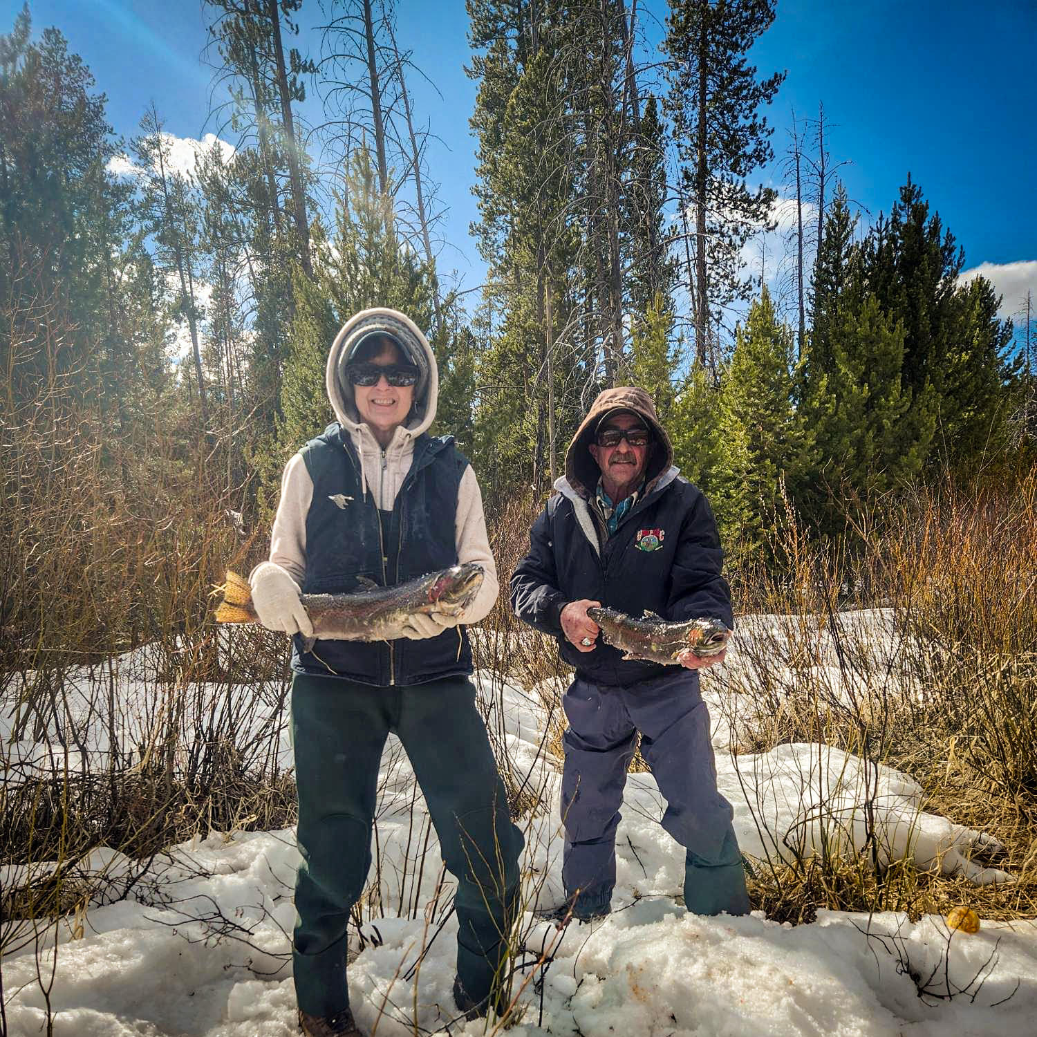
Upper Salmon River Steelhead Fishing Report (04-23-2024)
Tuesday, April 23, 2024 - 2:08 PM MDT
Look, don't touch: Despite good intentions, 'rescuing' baby wildlife can lead to bad outcomes
Monday, April 22, 2024 - 11:57 AM MDTIn the spring when wildlife baby boom is at its peak, you may have the good fortune to observe a nest of birds or a litter of young mammals with no adult in sight. Enjoy the sight, but remember it is best to leave young wildlife alone.
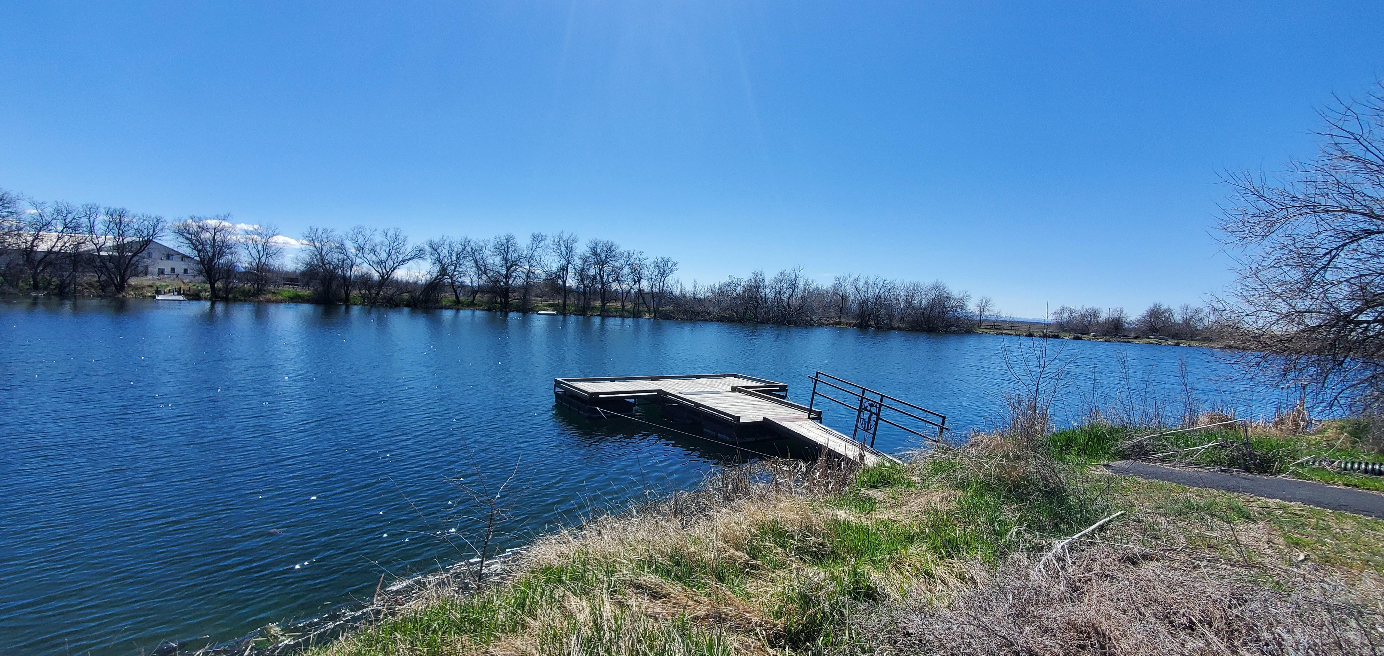
Crystal Springs Pond to be drawn down for county road repairs
Saturday, April 20, 2024 - 2:33 AM MDTCrystal Springs Pond in Bingham County will be slowly drawn down beginning Tuesday, April 23, to help with repairs to Edwards Road near Springfield Fish Hatchery.


Idaho Species Catalog
Explore wildlife in Idaho. Report sightings of wildlife and roadkill.
Browse species