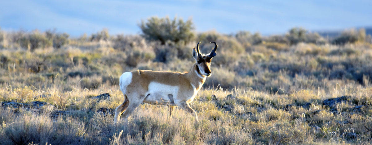
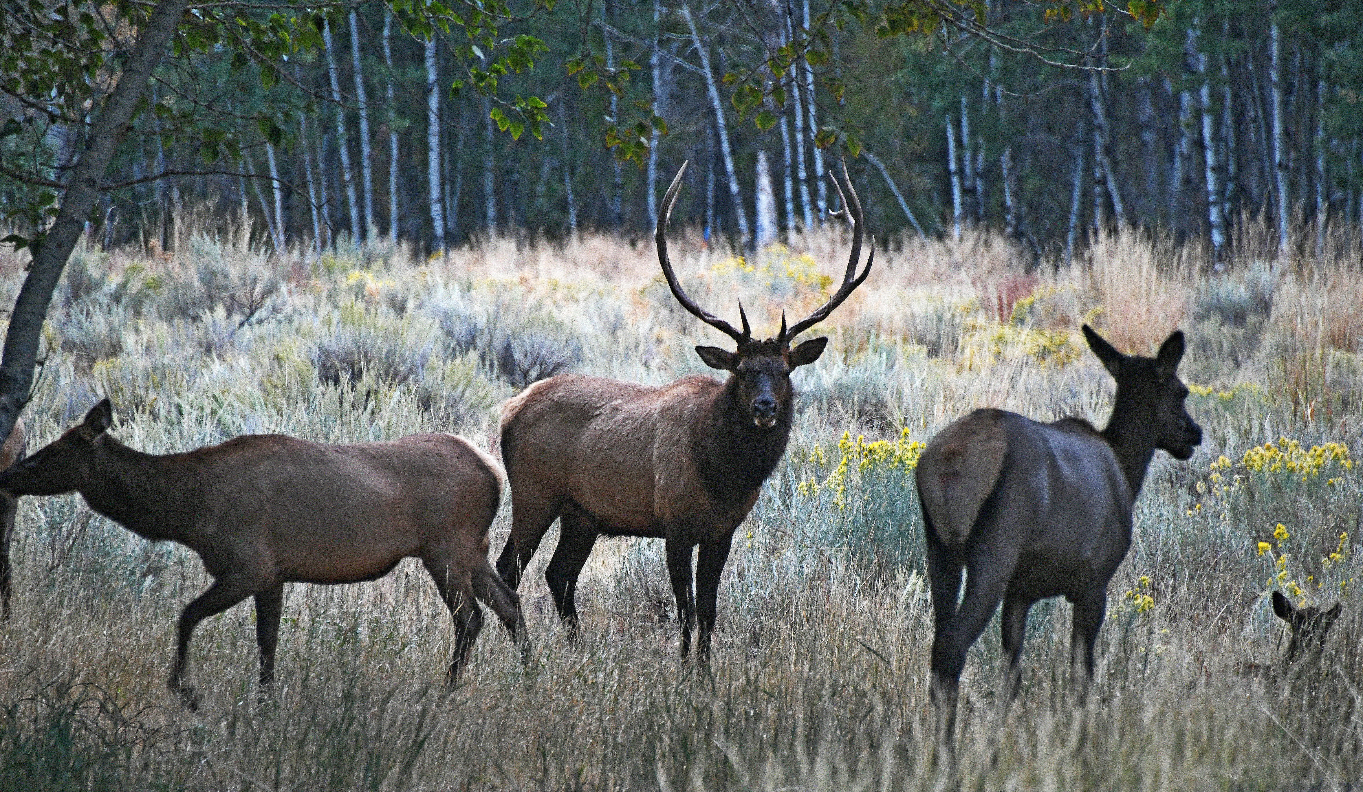
Fish and Game to host open house in Jerome on draft elk management plan
Friday, April 19, 2024 - 12:11 PM MDT
A long trip home: One Steelhead's journey to the Potlatch River
Thursday, April 18, 2024 - 3:31 PM MDTThis beautiful female steelhead was recently captured at our weir on the East Fork Potlatch River and released upstream to spawn. Fisheries staff previously captured this fish as a juvenile at one of the habitat restoration sites in the East Fork Potlatch River in 2020. At that time, she was about 6 inches in length and now she measures over 30 inches!
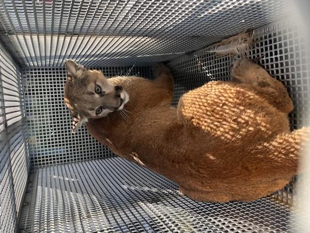
Idaho Fish and Game relocates mountain lion from Pocatello neighborhood
Thursday, April 18, 2024 - 1:38 PM MDTOn April 18, Idaho Department of Fish and Game removed a young adult male mountain lion from a north Pocatello neighborhood off of Hawthorne Road.
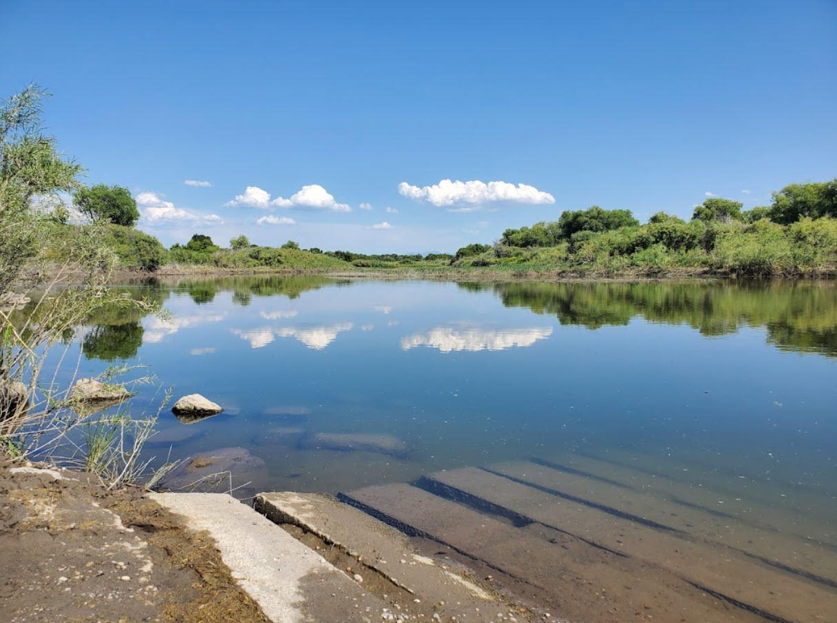
Public open house scheduled for proposed boat ramp project on the Snake River in Bingham County
Wednesday, April 17, 2024 - 1:37 PM MDTAttention boaters and anglers, a public open house has been scheduled to discuss a proposed boat ramp project on the mainstem Snake River below McTucker Creek in Bingham County.
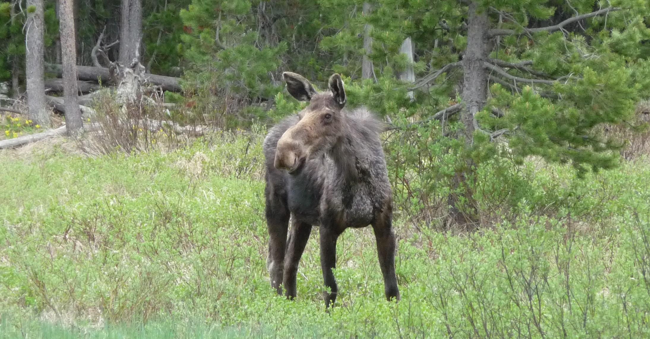
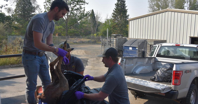
Fish and Game suspects Adenovirus Hemorrhagic Disease as culprit in Upper Snake moose mortalities
Wednesday, April 17, 2024 - 11:43 AM MDTIdaho Department of Fish and Game (IDFG) has investigated a recent surge in moose mortalities across the Upper Snake Region. Upon examination of the deceased animals, IDFG suspects Adenovirus Hemorrhagic Disease (AHD).
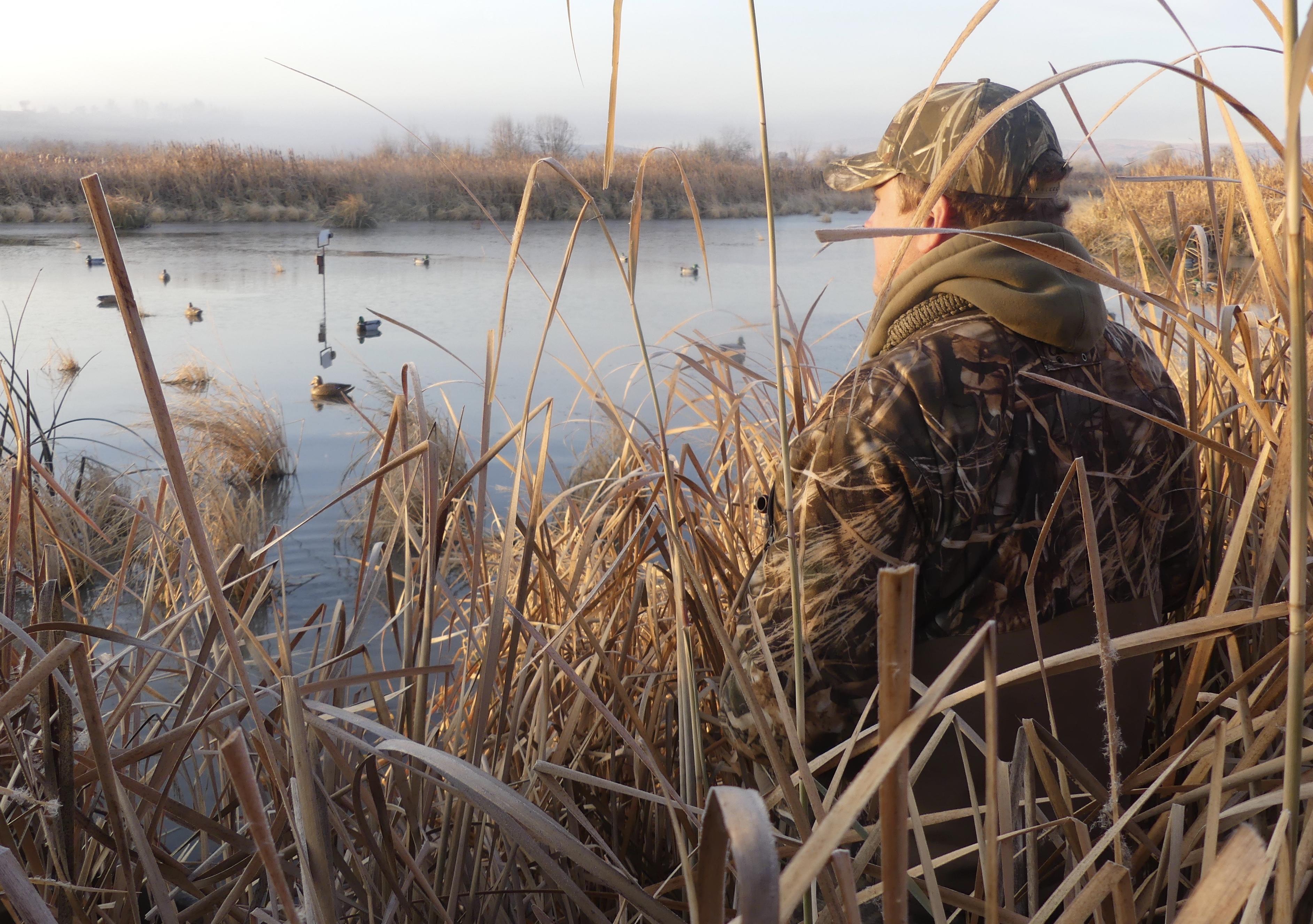
F&G commission sets migratory game bird seasons for 2024-25
Wednesday, April 17, 2024 - 11:38 AM MDTDuring its conference call on April 17, the Idaho Fish and Game Commission set the 2024-2025 migratory game bird seasons, including waterfowl, mourning dove, American crow and sandhill crane. Seasons for migratory game birds are largely unchanged from last season. Here’s what to expect.
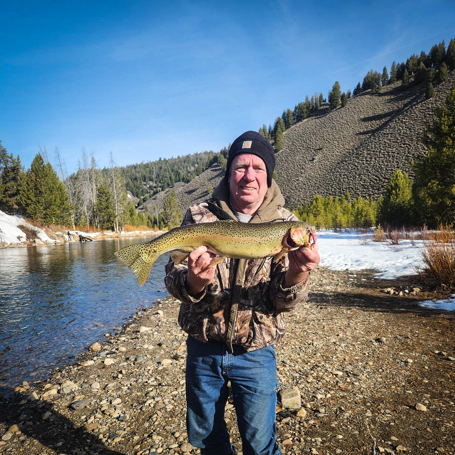
Upper Salmon River Steelhead Fishing Report (04-16-2024)
Tuesday, April 16, 2024 - 10:12 AM MDT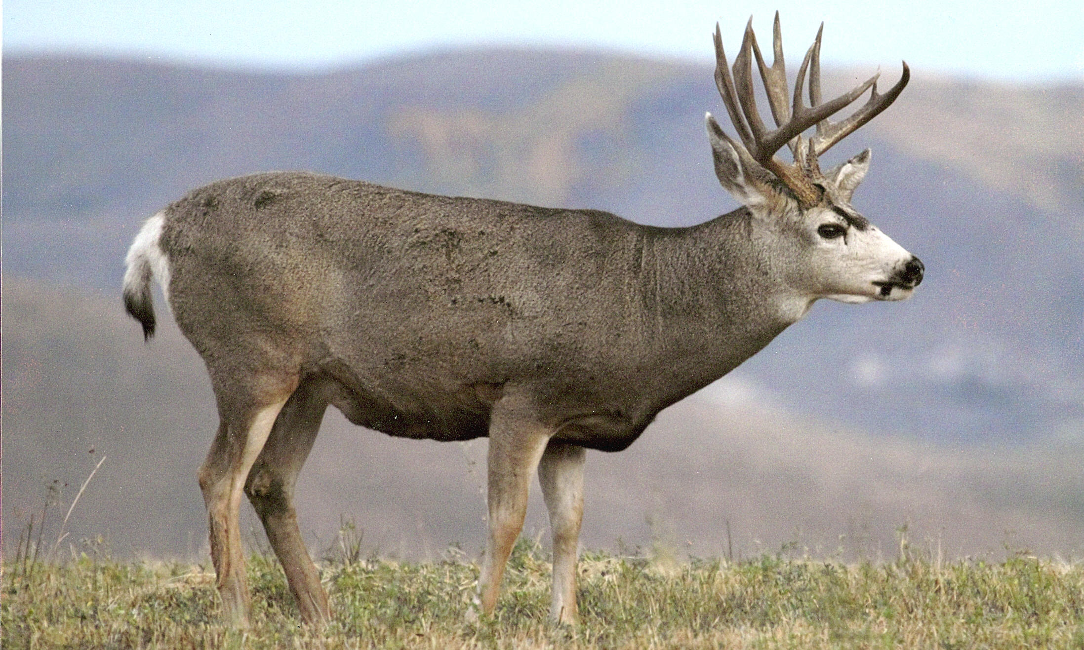
F&G seeking members for a new Southeast Region Mule Deer Advisory Committee
Monday, April 15, 2024 - 2:51 PM MDTIdaho Fish and Game is starting a new Southeast Region Mule Deer Advisory Committee. Find out more about the purpose of this committee and how you can apply to be a part of this unique collaborative effort to explore new ways to manage mule deer populations in southeast Idaho.


Idaho Species Catalog
Explore wildlife in Idaho. Report sightings of wildlife and roadkill.
Browse species